- Joined
- Aug 8, 2008
- Messages
- 6,070
- Points
- 83
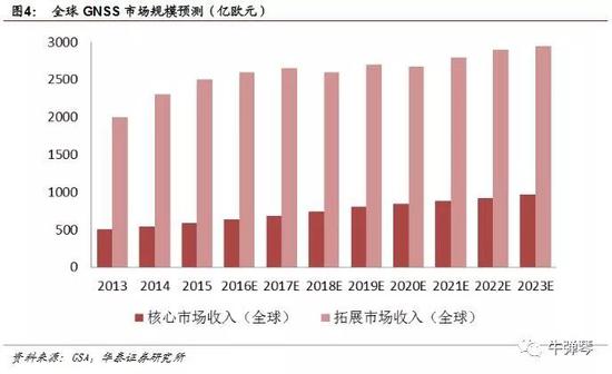
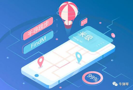
OK the 1st map below shows where you can get up to what accuracy level.
FindM is a decimeter level, 跬步 in Chinese means half-step. Aka accurate to within half a foot step level. About @S$2/month. Position Reading is @1 reading per sec.
¥10.00
按月购买
月/个
FindCM is centimeter level @S$80/month. Position Reading is @1 reading per sec.
¥400.00
按月购买
FindMM is millimeter level accuracy! @S$78/quarter. Position Reading is @1 reading per Hr. for Static application.
¥388.00
按季购买
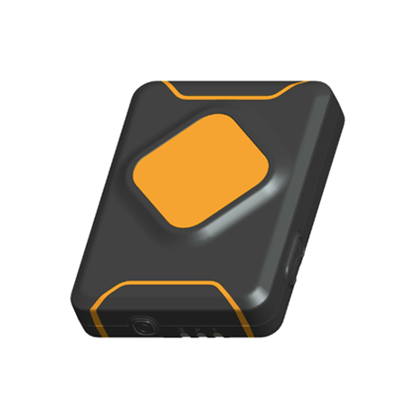
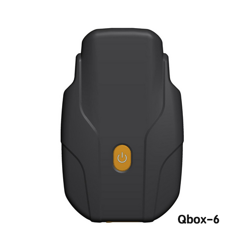
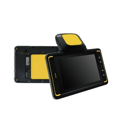
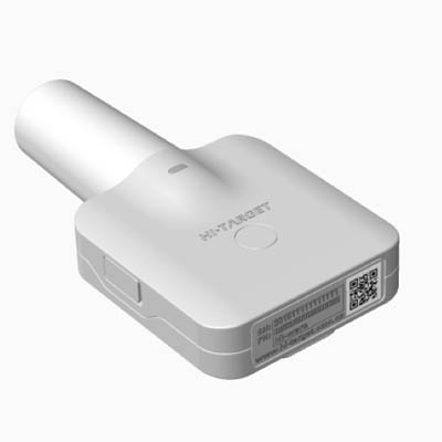
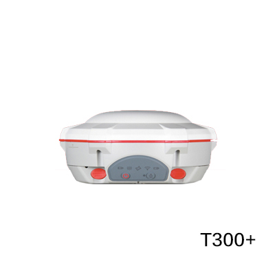
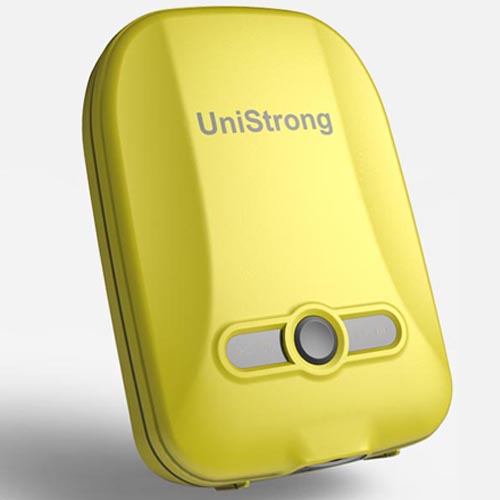
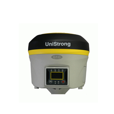
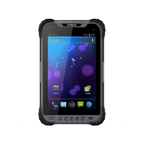
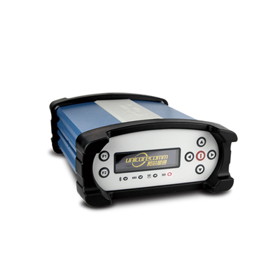
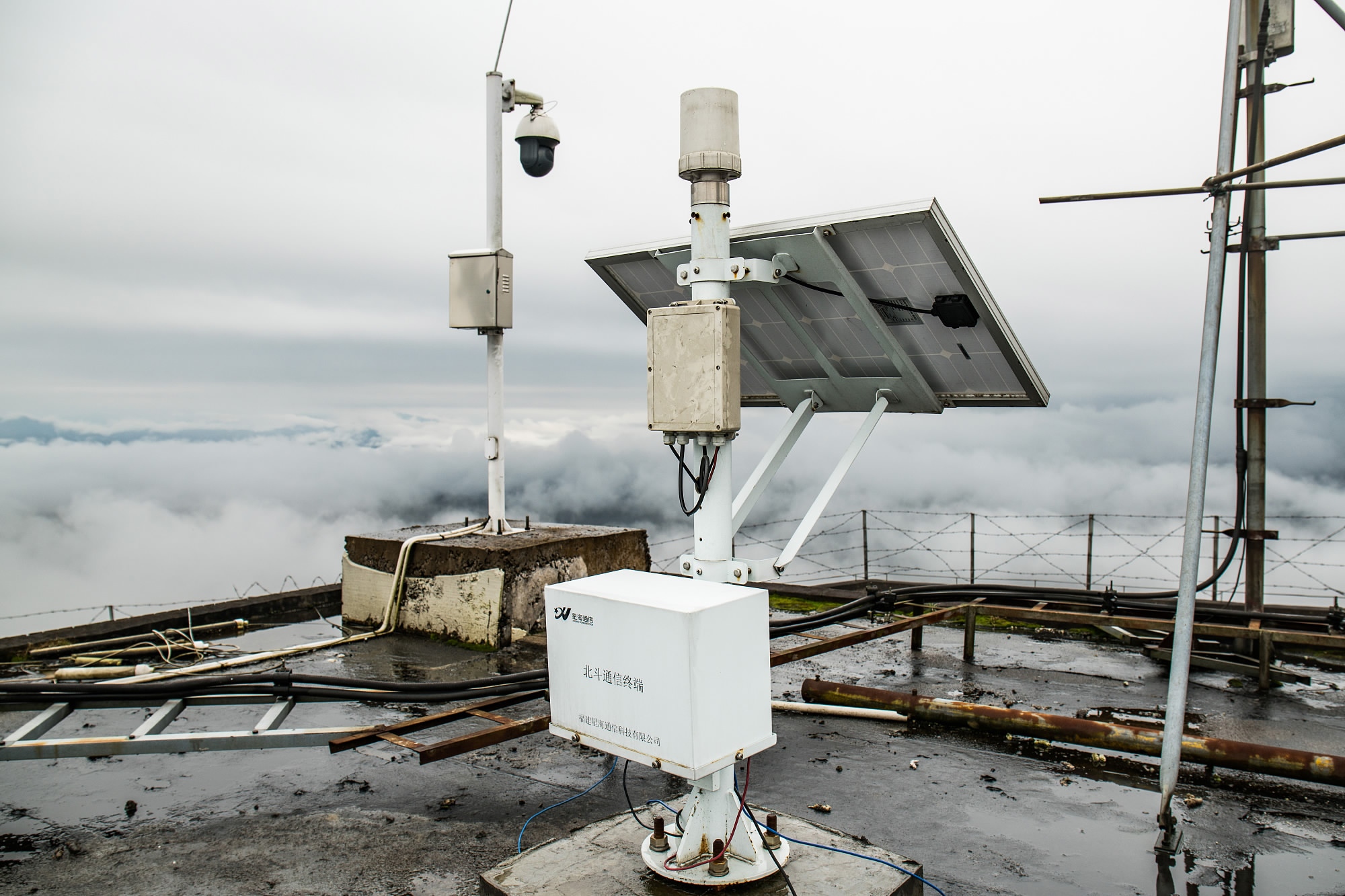
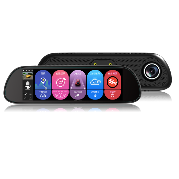
There are many devices and many new ones appearing rapidly, including Chinese brand smart phones!
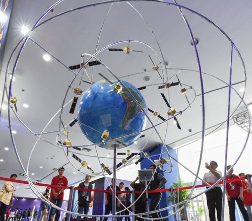
These are the Civilian Services. We are not being told about PLA's military system capabilities yet. But you can guess 10X better. From known weapons they can track and hit ships at hypersonic speed globally (50m accuracy). supersonic 10m possible. subsonic 1m possible. walking / driving better than 1m possible. Halted 10mins get accuracy to cm/mm possible.

https://hd.qxwz.com/app


 iOS版下载
 Android版下载
 扫码下载
扫码下载
当前安卓版本仅支持5.0及以上系统
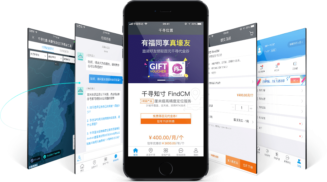
明星产品 快速购买
热卖产品可直接通过APP下单,支持按月购买,支付宝支付。 方便快捷、随需而用。
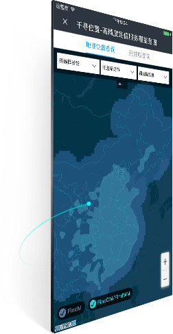
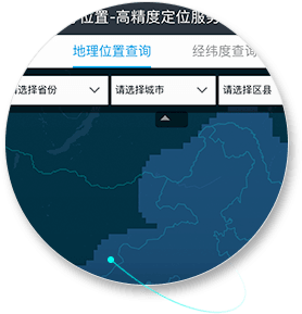
服务覆盖 范围查询
实时查看最新服务覆盖范围,地图形式只管展现。
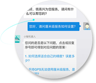
在线客服7*24小时
服务使用遇到困扰?不必担心!小千客服为您排忧。

配置参数 清晰指南
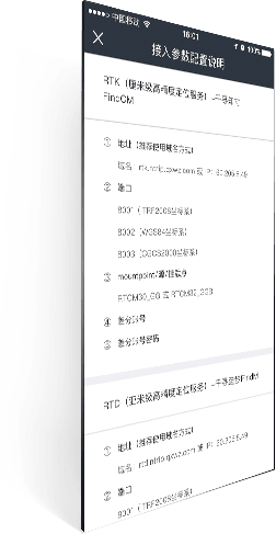
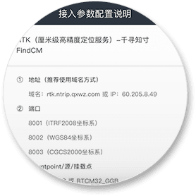
接入参数配置说明。终端配置,一眼便知。
首页| 公司简介| 联系我们| 免费试用| 业务声明
©2014-现在 qxwz.com 版权所有 沪ICP备 15042368号-1 沪公网安备 31010102002464号
https://www.qxwz.com/
请登录
服务覆盖查询免费试用服务购买续费扩容控制中心
注册有礼

千寻位置APP震撼上线
随需而用 触手可及
查看详情

千寻携手高通共推
联网汽车高精度定位解决方案
查看详情

位置服务全面提速
全球首个A-北斗服务用户突破1亿
查看详情
千寻位置APP震撼上线
随需而用 触手可及
查看详情
千寻携手高通共推
联网汽车高精度定位解决方案
查看详情
产品服务
解决方案
手机高精度定位
通过融合差分算法和服务、QX-SUPL、惯导、网络定位和人工智能等技术,使消费级智能终端定位能力提升至米级精度。
互联网精细农业
通过物联网基础设施和合作伙伴的方案,实现数据在线的精细农业规划、实施、管理和联动。
形变监测
对被监测对象的倾斜、沉降等安全指标进行7x24小时多方位实时监测,保障人民群众的生命和财产安全。
共享单车
采用单频RTK+2G组合方案,实现单车米级定位能力。用于单车电子围栏管理,辅助监管平台对停放行为进行约束和管理。
车辆定位
采用单频RTK+惯导组合定位方案,实现车辆的精准定位。成熟运用于精准物流、网约车、共享汽车等车辆定位应用场景。
测量工程
基于RTK定位原理,依托遍布全国的卫星定位地基增强站,融合各类定位技术,全天候互联网播发高可用厘米级差分服务。
无人机应用
赋能无人机的精准起降与飞行。成熟运用于无人机物流及无人机电力巡检等替代人力的无人机应用场景。
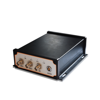
千寻魔方2.0高精度
基于专业级北斗芯片,结合千寻知寸(单频)服务,丰富的硬件形态支持各种终端产品实现高精度功能,适应各种行业的要求。
合作伙伴
注册有礼免费试用
客服邮箱:[email protected]
扫码关注千寻公众号
扫码下载千寻APP
账号支持
用户常见问题在线支付代金券使用兑换码使用索取发票续费与扩容使用
服务声明
业务声明法律声明平台协议服务条款服务范围
快捷入口
新手引导产品试用产品购买续费扩容实名认证控制中心公司简介新闻中心公司公告人才招聘联系我们
© 2014-现在 qxwz.com 版权所有 | 沪ICP备15042368号-1
 沪公网安备 31010102002464号
×
FindM is a decimeter level, 跬步 in Chinese means half-step. Aka accurate to within half a foot step level. About @S$2/month. Position Reading is @1 reading per sec.
¥10.00
按月购买
月/个
FindCM is centimeter level @S$80/month. Position Reading is @1 reading per sec.
¥400.00
按月购买
FindMM is millimeter level accuracy! @S$78/quarter. Position Reading is @1 reading per Hr. for Static application.
¥388.00
按季购买
There are many devices and many new ones appearing rapidly, including Chinese brand smart phones!
These are the Civilian Services. We are not being told about PLA's military system capabilities yet. But you can guess 10X better. From known weapons they can track and hit ships at hypersonic speed globally (50m accuracy). supersonic 10m possible. subsonic 1m possible. walking / driving better than 1m possible. Halted 10mins get accuracy to cm/mm possible.
https://hd.qxwz.com/app
当前安卓版本仅支持5.0及以上系统
明星产品 快速购买
热卖产品可直接通过APP下单,支持按月购买,支付宝支付。 方便快捷、随需而用。
服务覆盖 范围查询
实时查看最新服务覆盖范围,地图形式只管展现。
在线客服7*24小时
服务使用遇到困扰?不必担心!小千客服为您排忧。
配置参数 清晰指南
接入参数配置说明。终端配置,一眼便知。
首页| 公司简介| 联系我们| 免费试用| 业务声明
©2014-现在 qxwz.com 版权所有 沪ICP备 15042368号-1 沪公网安备 31010102002464号
https://www.qxwz.com/
请登录
服务覆盖查询免费试用服务购买续费扩容控制中心
注册有礼
千寻位置APP震撼上线
随需而用 触手可及
查看详情
千寻携手高通共推
联网汽车高精度定位解决方案
查看详情
位置服务全面提速
全球首个A-北斗服务用户突破1亿
查看详情
千寻位置APP震撼上线
随需而用 触手可及
查看详情
千寻携手高通共推
联网汽车高精度定位解决方案
查看详情
产品服务
解决方案
手机高精度定位
通过融合差分算法和服务、QX-SUPL、惯导、网络定位和人工智能等技术,使消费级智能终端定位能力提升至米级精度。
互联网精细农业
通过物联网基础设施和合作伙伴的方案,实现数据在线的精细农业规划、实施、管理和联动。
形变监测
对被监测对象的倾斜、沉降等安全指标进行7x24小时多方位实时监测,保障人民群众的生命和财产安全。
共享单车
采用单频RTK+2G组合方案,实现单车米级定位能力。用于单车电子围栏管理,辅助监管平台对停放行为进行约束和管理。
车辆定位
采用单频RTK+惯导组合定位方案,实现车辆的精准定位。成熟运用于精准物流、网约车、共享汽车等车辆定位应用场景。
测量工程
基于RTK定位原理,依托遍布全国的卫星定位地基增强站,融合各类定位技术,全天候互联网播发高可用厘米级差分服务。
无人机应用
赋能无人机的精准起降与飞行。成熟运用于无人机物流及无人机电力巡检等替代人力的无人机应用场景。
千寻魔方2.0高精度
基于专业级北斗芯片,结合千寻知寸(单频)服务,丰富的硬件形态支持各种终端产品实现高精度功能,适应各种行业的要求。
合作伙伴
注册有礼免费试用
- 免费试用
明星产品3-14天免费试用
- 购买保障
7天内可申请退款
支持故障赔偿
- 服务支持
1v1大客户服务
7x24小时在线客服
365天多渠道技术支持
- 权威资质
ISO9001质量体系认证
ISO20000信息技术服务认证
ISO27001信息安全管理认证
甲测资字3300401
客服邮箱:[email protected]
扫码关注千寻公众号
扫码下载千寻APP
账号支持
用户常见问题在线支付代金券使用兑换码使用索取发票续费与扩容使用
服务声明
业务声明法律声明平台协议服务条款服务范围
快捷入口
新手引导产品试用产品购买续费扩容实名认证控制中心公司简介新闻中心公司公告人才招聘联系我们
© 2014-现在 qxwz.com 版权所有 | 沪ICP备15042368号-1
×

.jpg)